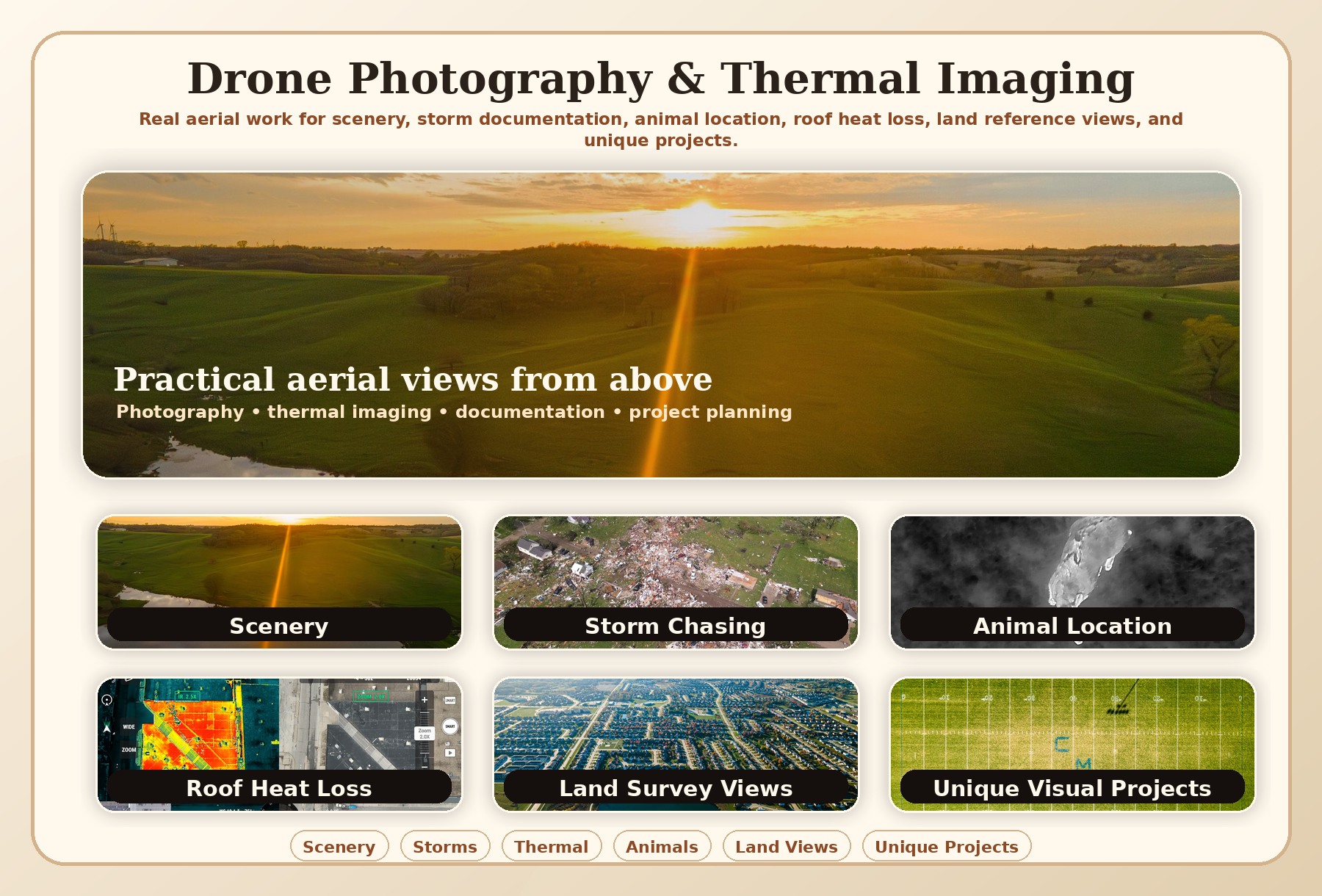
Visual Services
Useful Views From Above
These are the kinds of drone and thermal imaging projects that can help homeowners, businesses, farms, local organizations, and project teams understand a property or situation faster.
Scenery & Property Views
Aerial photos for websites, listings, properties, farms, acreages, community features, landscapes, and projects that look better from above. See the featured sunset scenery image above.
Storm Chasing & Weather
Visual documentation of dramatic skies, weather movement, storm aftermath, and hard-to-capture moments where timing and location matter. See the featured storm image above.
Animal Location
Aerial and thermal-assisted views can help check pastures, wooded edges, fields, waterways, and difficult terrain when animals need to be located or monitored. See the featured thermal image above.
Roofing Heat Loss
Thermal drone imaging can help identify suspicious roof temperature patterns, potential heat loss areas, insulation concerns, or places worth closer inspection. See the featured roof thermal images above.
Land Surveying Views
Aerial reference photos can help explain land layout, drainage, access, boundaries, roads, ponds, project planning, construction progress, or property features. See the featured land view above.
Unique Visual Projects
If a project needs a view that is hard to get from the ground, I can help think through the safest, most useful way to capture it. See the featured overhead field image above.